Why Norfolk Passport?

-
A free-to-join membership programme giving members exclusive perks across leading Norfolk experiences
-
We represent some of Norfolk’s leading brands, offering 10% off everything... and more!
-
Passport holders receive special perks such as 50% savings at new locations or private menu tastings
-
Find out the best Norfolk has to offer with our weekly ‘Norfolk Top 5’ postcard
What can I expect?
Your gateway to exclusive perks with leading Norfolk businesses
-
Award-winning brands!
Get offers with brands like Byfords, The Pigs, The Assembly House, Sponge and more.
-
Instant online signup!
Two minutes of your time to start saving
-
Juicy monthly specials!
Every month we aim to bring you something extra special
-
Exclusive perks in your hand!
Effortless access to the latest perks with our mobile-friendly website
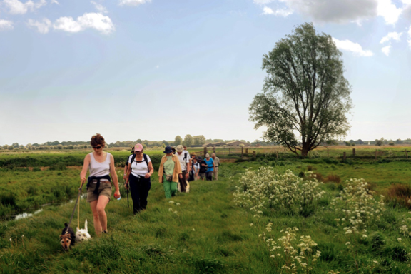
Norfolk Top 5 things to do
Enjoy some of Norfolk’s most stunning countryside and coastal locations.
From beaches to afternoon teas, scenic walks to antique hunting, get out and about with our Norfolk Top 5 guides, there’s something for everyone!